Property score
How it stacks up
Detailed ranking analysis ▼
Street Level (Hammond Road): Below Average. Ranked #61 out of 100 (Bottom 39%). The street average for comparable homes is 1,050 sqft.
Neighborhood Level (Westdale): Below Average. Ranked #779 out of 1,460 (Bottom 47%). The neighborhood average for comparable homes is 1,029 sqft.
Citywide Level (Winnipeg): Below Average. Ranked #140,680 out of 194,457 (Bottom 28%). The citywide average for comparable homes is 1,342 sqft.
Street Level (Hammond Road): Below Average. Ranked #51 out of 100 (Bottom 49%). The street average for comparable homes is 389.0k.
Neighborhood Level (Westdale): Around Average. Ranked #539 out of 1,460 (Top 37%). The neighborhood average for comparable homes is 355.0k.
Citywide Level (Winnipeg): Below Average. Ranked #108,525 out of 194,455 (Bottom 44%). The citywide average for comparable homes is 435.4k.
Street Level (Hammond Road): Around Average. Ranked #36 out of 100 (Top 36%). The street average for comparable homes is 1968.
Neighborhood Level (Westdale): Below Average. Ranked #1,287 out of 1,460 (Bottom 12%). The neighborhood average for comparable homes is 1971.
Citywide Level (Winnipeg): Around Average. Ranked #97,660 out of 194,457 (Top 50%). The citywide average for comparable homes is 1966.
Street Level (Hammond Road): Around Average. Ranked #49 out of 100 (Top 49%). The street average for comparable homes is 6,075 sqft.
Neighborhood Level (Westdale): Around Average. Ranked #554 out of 1,460 (Top 38%). The neighborhood average for comparable homes is 5,168 sqft.
Citywide Level (Winnipeg): Around Average. Ranked #65,851 out of 194,457 (Top 34%). The citywide average for comparable homes is 6,570 sqft.
Westdale market pulse
How to read: Share of sales in each ~$50k price band for “westdale” (Detached houses (non-condo), 2024). The tallest band is the mainstream budget range; multi-year view shows how that band shifts over time.
- Exact sold prices
- Detailed market analysis
- PDF report download
- Neighbourhood insights
- Recent sold count in the area
A quick signal for rental-market activity, potential tenant demand, and rental competition around this home.
View Winnipeg rental map →Who lives in this neighbourhood
Transit, amenities & safety
Nearby Amenities
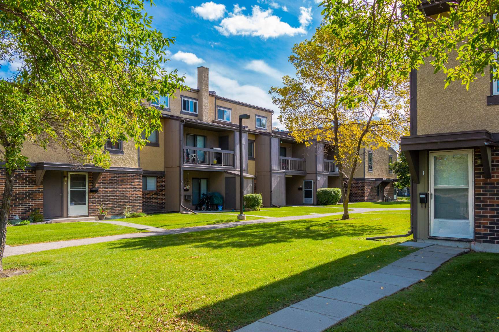
84 Hammond Road — 6 amenities found within 500 m, across 3 categories, including 2 education (nearest 443 m), 1 shopping (nearest 475 m), 3 parks (nearest 385 m).
Crime & safety
Waste collection schedule
We are licensed Manitoba real estate agents. Contact us to obtain all MLS whole sold records for 84 Hammond Road. No advertising. Data source details →
Related homes
Nearby interested homes
Address · Year Built · Living Area
Nearby properties
Address · Distance
Similar assessed value
Address · Tax-Assessed Value
Is this home right for you?
84 Hammond Road – Property Summary
Key Characteristics & Buyer Fit
This is a 1,014 sqft single-family home built in 1968, sitting on a 5,956 sqft lot in Winnipeg’s Westdale neighbourhood. The assessed value is $337,000.
The living area is slightly below the citywide average for comparable homes but falls in line with what’s typical on Hammond Road and within Westdale. The lot size is a bit above the neighbourhood average, though slightly below the citywide norm. The home is older than most in Westdale (where the average build year is 1971) but close to the citywide median.
The property’s appeal is its balance: it’s not standout in any one metric, but it’s consistently average or close to it across the board. That can be an advantage if you’re looking for a home that doesn’t come with a premium for being unusually large, new, or assessed high. The lot is roomy enough for outdoor space without being oversized or hard to maintain.
This property would suit buyers who are comfortable with a mid-century home in a well-established neighbourhood, and who prioritize a solid lot size and reasonable assessed value over a newer build or extra square footage. It may also appeal to those who want to avoid the competition often attached to top-ranked homes in any category.
Five Possible FAQs
1. How does the assessed value compare to similar homes nearby?
The assessed value is $337,000, which is right around the street average ($337,100) and above the Westdale neighbourhood average ($307,400). It’s below the citywide average for comparable homes ($390,100). So you’re paying more than the typical Westdale home but less than what’s common citywide.
2. Is this considered an older home for Westdale?
Yes. The average build year in Westdale is 1971, and this home was built in 1968. It’s older than about 88% of homes in the neighbourhood, and roughly in line with the citywide median of 1966. Buyers should plan for typical maintenance of a home from this era.
3. How does the lot size compare to others in the area?
The lot is 5,956 sqft, which is slightly below the Hammond Road average of 6,075 sqft but above the Westdale average of 5,168 sqft. Citywide, it falls in the top third (34%) of lot sizes for comparable homes. So it’s a decent-sized lot by neighbourhood standards, though not unusually large.
4. Is the living area small compared to other homes in Winnipeg?
Yes, it’s below the citywide average of 1,342 sqft for comparable homes. However, it’s very close to the averages on Hammond Road (1,050 sqft) and in Westdale (1,029 sqft). So it’s typical for the immediate area, even if it’s on the smaller side citywide.
5. What does “around average” really mean in these rankings?
It means this property lands in the middle range of comparable homes. For example, on Hammond Road it ranks 45th out of 100 in assessed value (top 45%), and 49th out of 100 in lot size (top 49%). These aren’t outliers either way. The rankings compare similar properties—same type, same neighbourhood or street—so they show how it stacks up against homes it competes with directly.